Task
The BahnRaum research project deals with strategies for rail-oriented settlement development and accessibility optimization at transport stations at local and regional level. The focus is on rural areas and smaller urban regions.
The research project was funded by the BMK.
Work steps
As part of an analysis of the state of the art, existing methods from spatial and transport planning as well as tools for measuring accessibility (GIS network analysis tools, land use models, macroscopic traffic modeling) were first examined and evaluated.
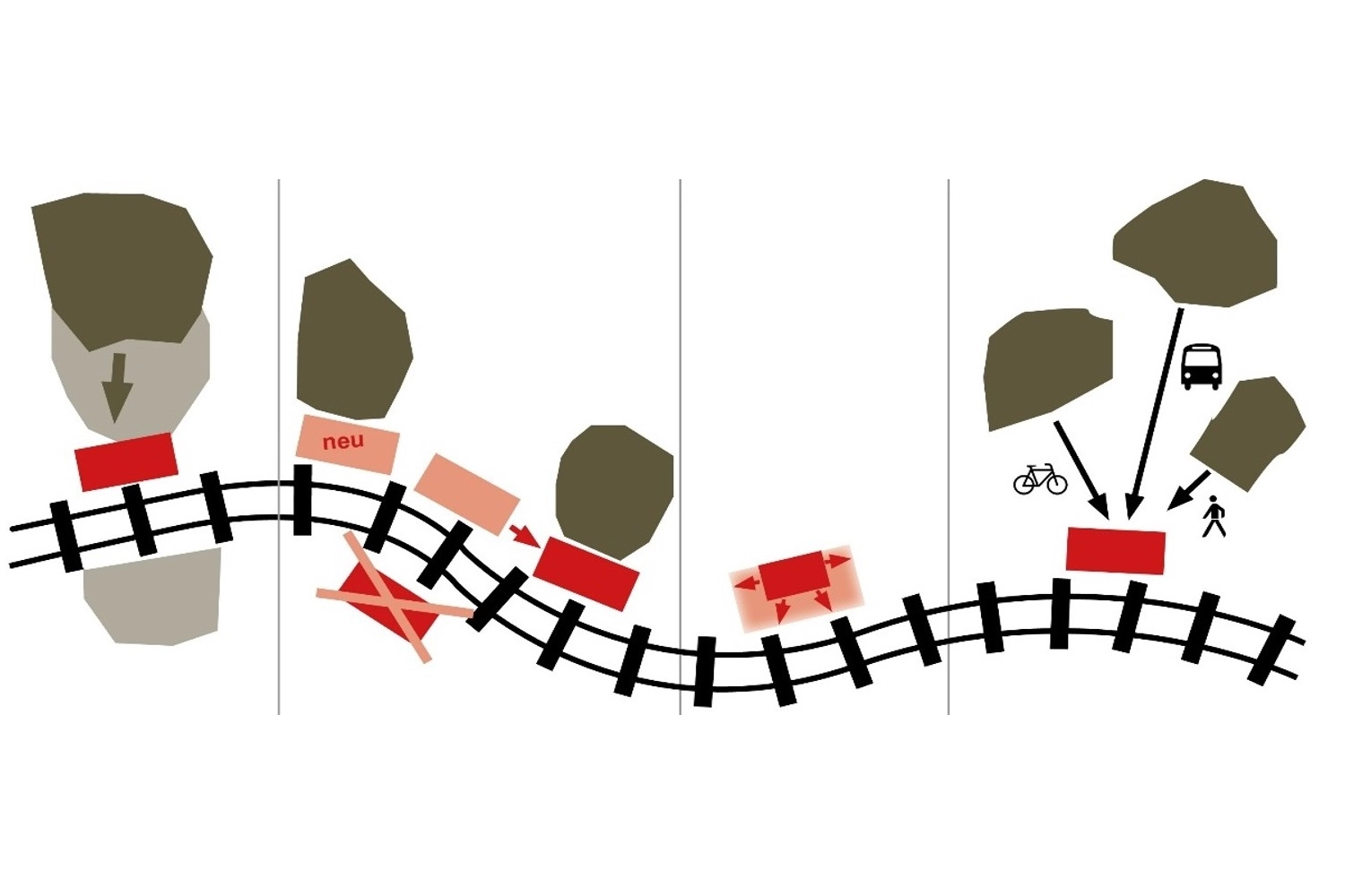
Case studies were used to show how planning processes involving relevant stakeholders, combinable strategies (settlement development, adaptation of the station network, adaptation of the degree of expansion and improvement of transport links), planning instruments and methods can be used to improve the potential of the railroad through active spatial planning and, conversely, to positively influence spatial development through the railroad as a driving force.
Results
Accessibility analyses were carried out for five test regions in Upper Austria and Carinthia using the multimodal route network graph of the graph integration platform (gip.at). For this purpose, special PostgreSQL/PostGIS scripts were developed as part of the project, in which an automated linking of isochrone calculations with the structural data potentials on site takes place.
Client
Austrian Federal Ministry for Transport, Innovation and Technology; ÖBB Infrastruktur AG
To the homepage
Project period
2015 - 2017
Population
approx. 9 million
Area of investigation
Austria